Services
We offer comprehensive aerial, terrestrial, and marine media and survey services, including mapping, 3D modelling, inspections, and post-production, all tailored to meet your project needs with cutting-edge technology.
Mapping and Survey
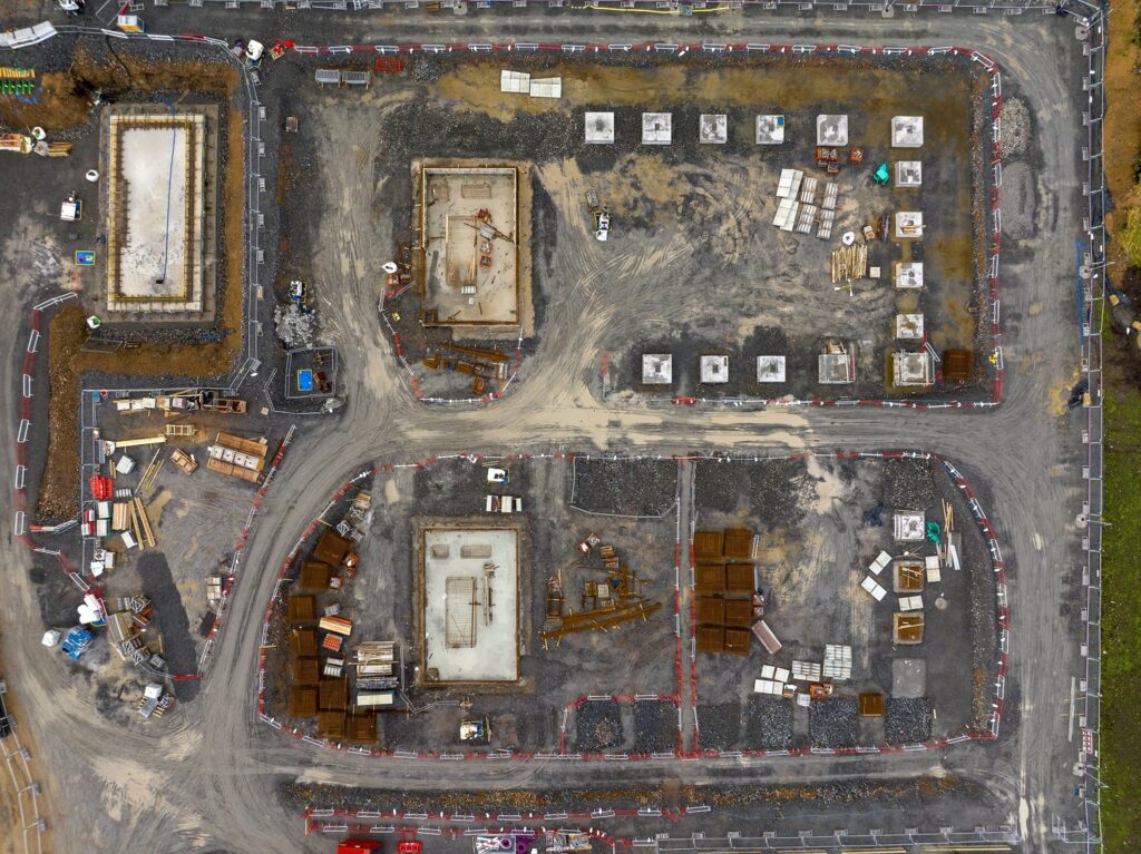
Discover the future of mapping and surveying with our cutting-edge UAS technology. Our advanced systems offer comprehensive data collection and analysis capabilities, paving the way for groundbreaking insights in your field.
Infrastructure and Asset Inspections
Explore how our specialised cameras and sensors redefine the standards for infrastructure and asset inspections. Embrace the efficiency and safety of aerial inspections, eliminating the risks associated with traditional methods.
Aerial Photography and Video
Elevate your project’s perspective with our aerial photography and video services. From breathtaking landscapes to detailed project documentation, our aerial imagery captures the essence of your work from a unique vantage point.
Creative Services
Step into the immersive world of VR with our professional panoramic tours and scenes. Whether for business promotion or virtual site exploration, our VR services provide engaging and interactive experiences.
Projects
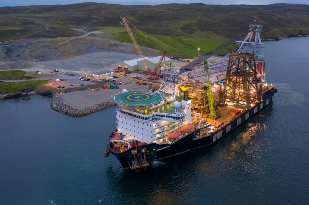
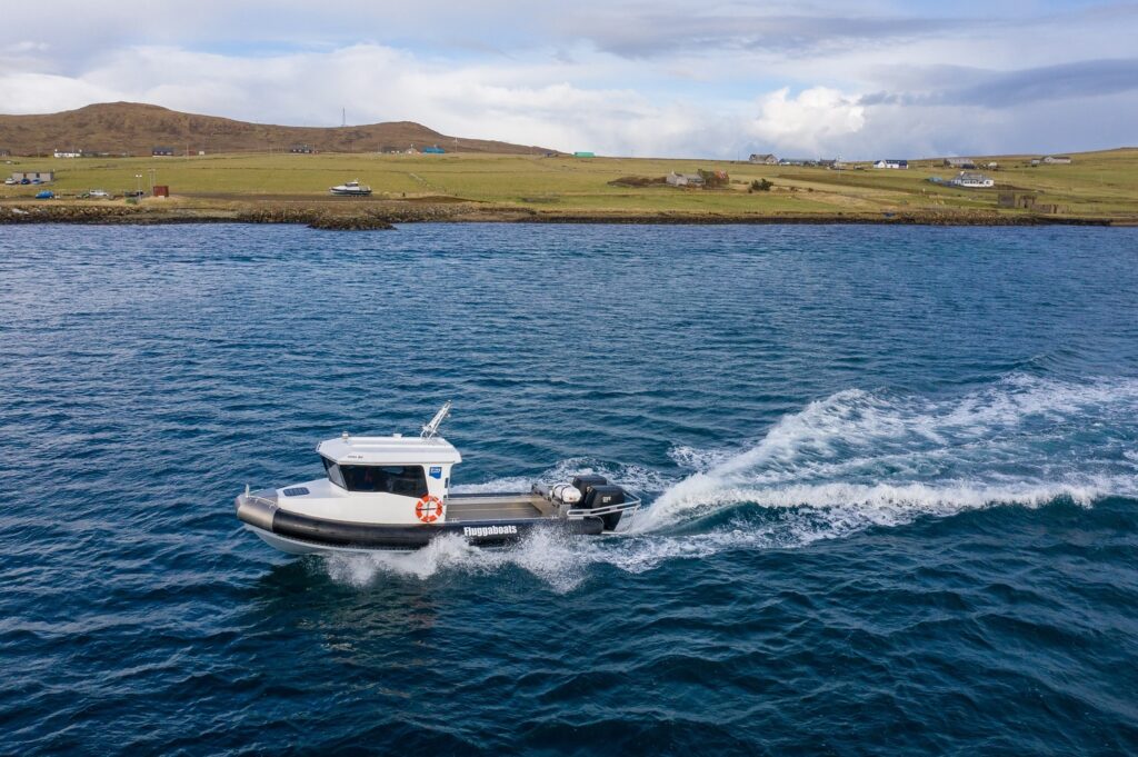
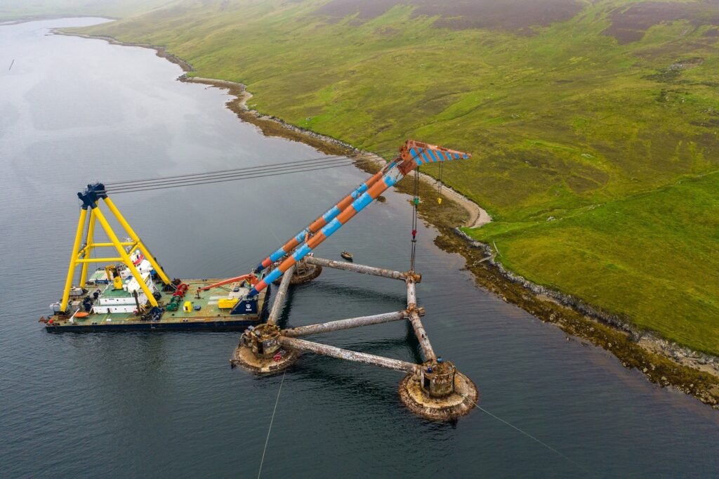
Our portfolio showcases a wide range of projects, each highlighting our commitment to excellence and innovation. From complex mapping endeavours to detailed environmental assessments, we bring a new dimension to commercial drone services.
Gallery
Immerse yourself in the beauty and precision of our work through our gallery. Here, you’ll find a selection of images and videos that demonstrate the versatility and impact of our services.
Video
Experience the dynamic nature of our work firsthand through our video showcase. From detailed project overviews to stunning aerial vistas, our videos provide a closer look at what we do and how we do it.
FAQ
Our Unmanned Aerial Systems (UAS) services cater to a wide range of industries, including construction, renewables, environmental sectors, commercial real estate, and the marine sector. Whether you’re looking for detailed mapping and surveys, infrastructure and asset inspections, or creative aerial photography and video, our solutions can be tailored to meet the unique needs of your project, enhancing efficiency and safety across the board.
Drone-based mapping, surveying, and inspection services offer several advantages over traditional methods. They can significantly reduce the time required to gather data, minimise safety risks associated with accessing difficult or hazardous terrain, and provide higher-resolution data for more accurate analysis. For example, aerial topographic surveys can be completed in approximately 1/10th the time it would take using ground-based survey methods, with the added benefit of comprehensive area coverage and minimal environmental impact.
All our pilots and operators are highly skilled professionals with a minimum of a General Visual Line-of-sight Certificate (GVC). Additionally, our team holds internationally recognised remote-piloted aircraft systems certifications, ensuring compliance with the UK Civil Aviation Authority’s regulations for commercial unmanned aircraft operations. Our ISO9001:2015 certification and memberships with esteemed organisations like Constructionline, ARPAS-UK, and the Guild of Television Camera Professionals further support our dedication to professionalism.
Yes, our Operational Authorisation allows us to operate all our UAS in congested areas as long as our aircraft don’t pose a risk to uninvolved people. We can overfly congested areas with our larger UA as long as it is above 50m and we minimise any overflight of uninvolved people. We use advanced safety features such as Flight Termination / Parachute Recovery (FTS / PRS) systems when operating our Matrice series UAS in congested areas, significantly reducing the risk to people and property. Our smaller UAS can operate in congested areas with very few restriction on proximity or overflight, ideal for infrastructure inspections in town centres.
With over 40 years of experience in RPAS systems and a background in professional photography, videography, and surveying, we offer an unmatched level of expertise and quality in our services. Our long-standing history as the most experienced commercial UA operators in Shetland, combined with our extensive range of certifications and accreditations, positions us as leaders in the industry. Additionally, our commitment to safety, reliability, and innovation is exemplified by our advanced aircraft systems, in-house post-production suite, and our ability to provide comprehensive, customised solutions for each client’s specific needs.
Insights
We are excited to announce a major upgrade to our drone fleet: the DJI Inspire 3. This cutting-edge drone will
Understanding the impact of weather on drone performance is crucial for ensuring safe and efficient operations. Wind, precipitation and visibility
A new service from Shetland Flyer Aerial Media for visual tracking of vertical rocket launches at Saxavord UK Space Port.

